'Massive changes' to Northern Ireland's coastline mapped

 Getty Images
The coastline around Northern Ireland has been moving for centuries.
Just how much it has moved and what it might do in the future has been mapped by a team at Ulster University in what they say is a first for the UK.
They have used two centuries' worth of maps and other information to create an app the public can access.
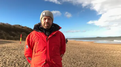
The professor who led the project said the changes to our coastlines have been "massive".
The app is an extension of the historical coastline project funded by the Department of Agriculture, Environment and Rural Affairs (Daera).
Professor Derek Jackson, a coastal geographer, has described the app as an "info tool".
"You click on parts of the map where you're interested in and that will describe the historical changes that have taken place in layman's language. "
"I've been surprised by just how much the coast has actually moved either landward or seaward over the 200 years of looking at this," he added.
"We've seen massive changes that we didn't realise actually took place."
The team examined information for 140 locations along the Northern Ireland coastline.
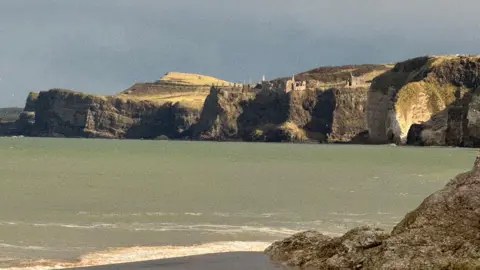
They found that hard geology meant little change for some places, while softer coastlines had experienced both erosion and even expansion.
"Some areas have actually grown forward, for example, some parts of County Down," said Prof Jackson.
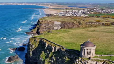
Whereas other parts like Magilligan, County Londonderry, have "eroded dramatically".
"So it's surprising just how dynamic the coast has been over the last 200 years."
The tool factors in the scientists' best estimate of how each part of the coastline might change in the future, considering the impact of climate change while also factoring in the effects of the past.
Northern Ireland was pushed down by "probably a kilometre thick of ice" during the last Ice Age, which ended approximately 11,700 years ago.
And the rebound effect of that, Prof Jackson said, has afforded some protection as sea levels rise.
"It's almost like a sponge - when you press down on a sponge it rebounds back into shape again.
"And the coast and the land surrounding the coast did that as well.
"That rebounding kept pace with sea level rises around the world and that then gave us semi-protection as well. But that honeymoon period is coming to an end."
As well as being publicly accessible, the app should help councils and planners in assessing planning applications.
Prof Jackson said working with nature is vital.
"We probably should not be building on dynamic coasts because they're so mobile.
"If we're in a natural environment we have to understand how it functions, how it works over time, and sometimes little, tiny things that we do can have a massive impact on the natural behaviour of coasts."