Busiest London stations visually mapped by Google
 BBC
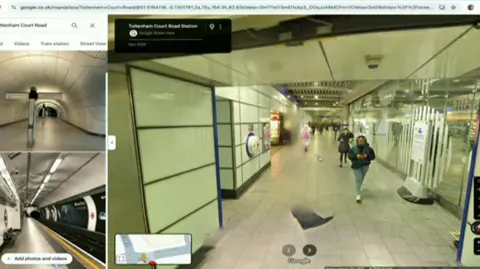
BBCTransport for London (TfL) has announced 18 of its busiest stations have been visually mapped by Google Street View.
Over the past year, Google has filmed 36 of London's stations.
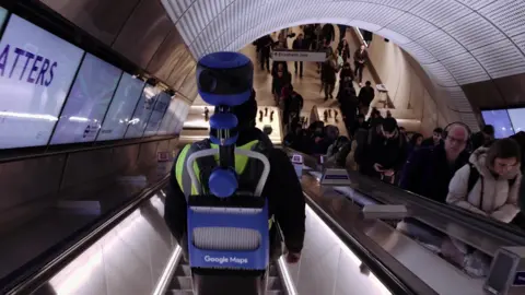
The process involves a person wearing a backpack containing 360-degree cameras walking down every corridor, escalator and platform in each station.
The filming was then stitched together and can be accessed online. Commuters' faces are automatically blurred.
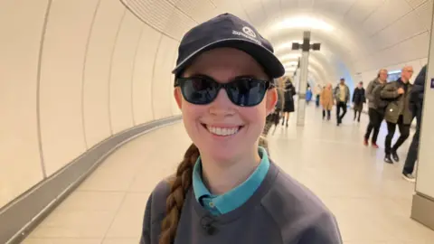
Rebecca Clarke, 20, lives in Wimbledon and studies at King's College.
As a wheelchair user, she plans her travel carefully - she needs to be aware of the location of lifts and level boarding areas.
The Street View project - being able to see the station in advance - will make a big difference to her.
"It's all well and good having this information written down, but being able to see where those lifts that you need to get to are, where you can go on the platform and if there are any services like bathrooms, it would be really helpful."

The new system isn't perfect. For example, it doesn't show the route from the lifts.
Ms Clarke agrees there is room for improvement: "I hope we can work with TfL to make that improvement. It would be really useful to be able to press on the lift on the screen and be able to see exactly where you come out, rather than having to use the stairs on the map."
 Transport for London
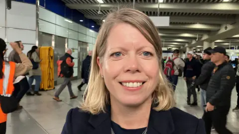
Christina Calderato, Director of Strategy at TfL, said the work with Google allowed customers to plan their journey with confidence.
"This project also supports our wider 'equity in motion' ambition of improving signage, helping people to better navigate some of the capital's busiest stations, and help us to build a better, more equitable London."

Sarah Pugh, the boss of children's wheelchair charity Whizz Kidz, said the organisation had been "thrilled" to work on the scheme with TfL and Google.
"This will support wheelchair users to travel through stations, planning routes and travel with confidence and independence.
"We continue to support new innovations from TfL and other partners to ensure access to public transport is equitable for all.”
A further 18 stations will be available on Google Street View by the end of the year.
Stations that now have Google Street View:
- Westminster
- Baker Street
- Oxford Circus
- Canada Water
- Bank
- Monument
- Embankment
- Bond Street
- Euston Square
- Tottenham Court Road
- Farringdon
- Old Street
- Whitechapel
- Custom House
- Tottenham Hale
- London Bridge
- Cannon Street
- Charing Cross
Google Street View will be available before the end of the year:
- Canning Town
- Camden Town
- Stratford
- South Kensington
- Hammersmith (District & Piccadilly)
- Hammersmith (Hammersmith & City Line)
- Moorgate
- Highbury & Islington
- King's Cross
- St. Pancras
- Victoria Station
- Waterloo
- Paddington
- Euston
- Liverpool Street
- Clapham Junction
- Canary Wharf
- Green Park
